 GlideLine Studio
Beautiful disc golf course maps, made simple
Import your course, plot the holes and print the map and tee signs. Stop there, or keep going into full 3D.
Free. No account needed.
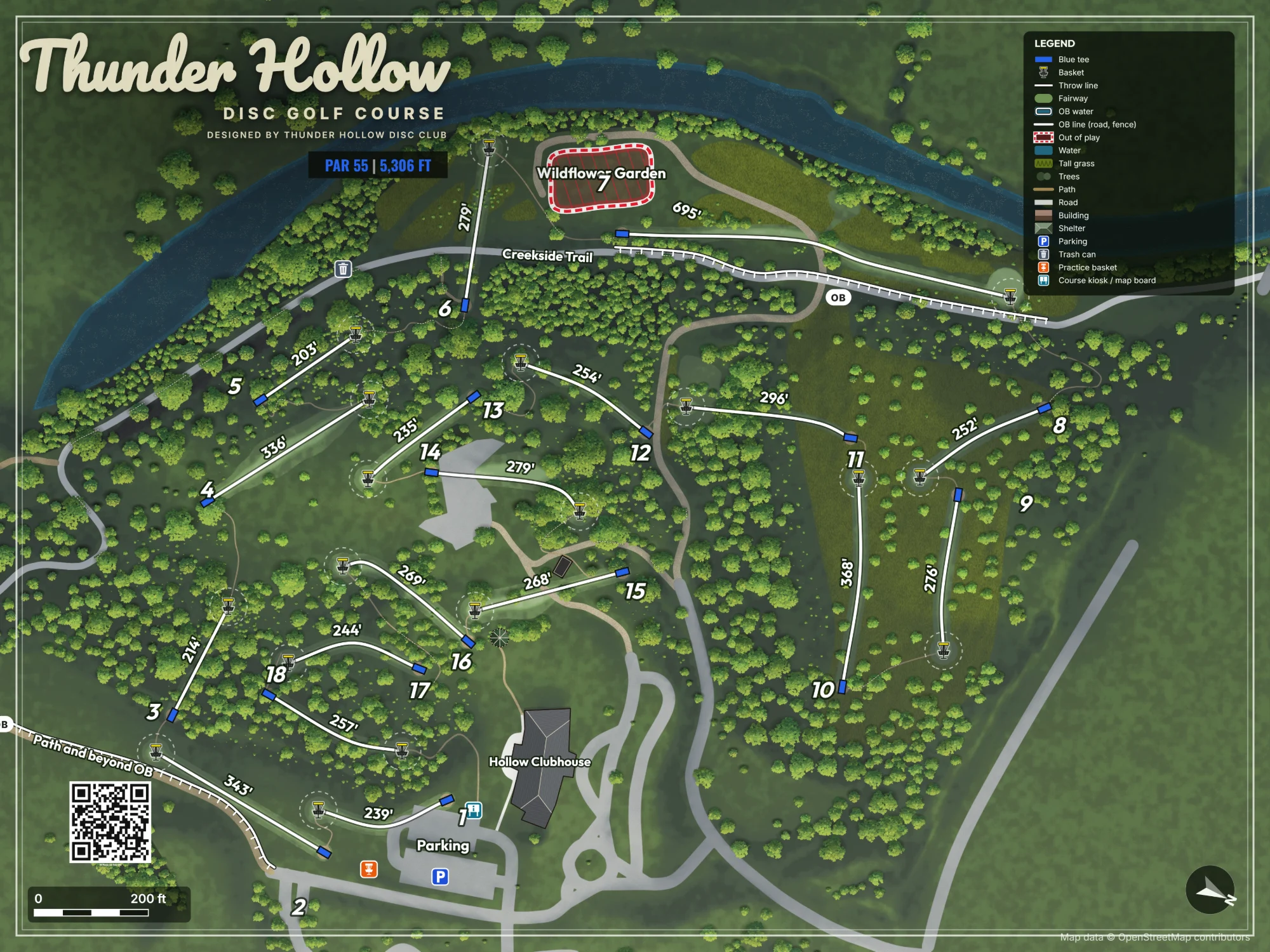
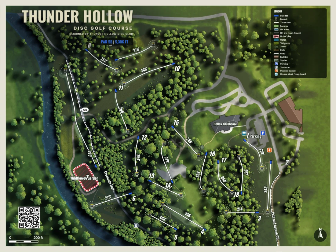
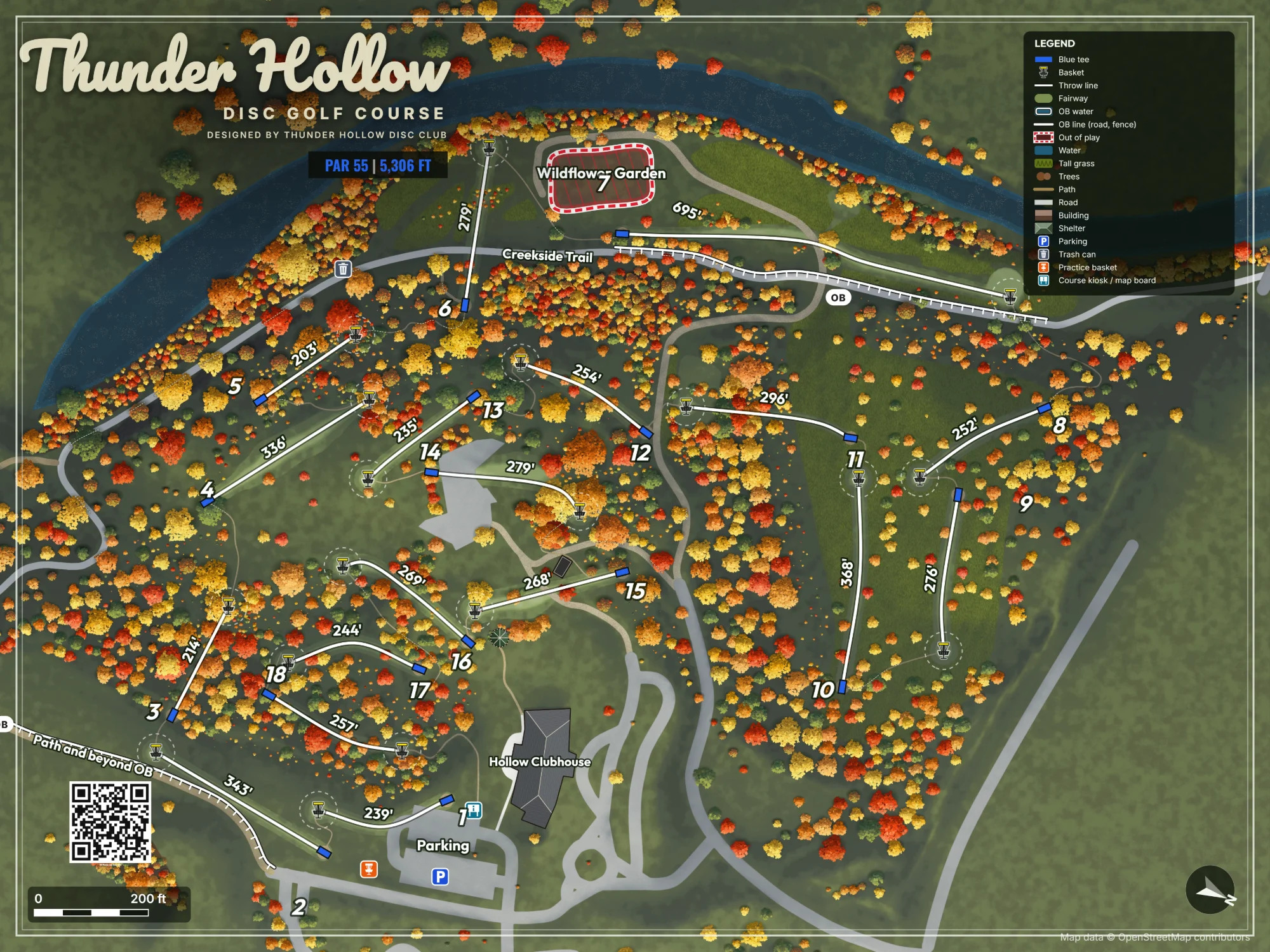
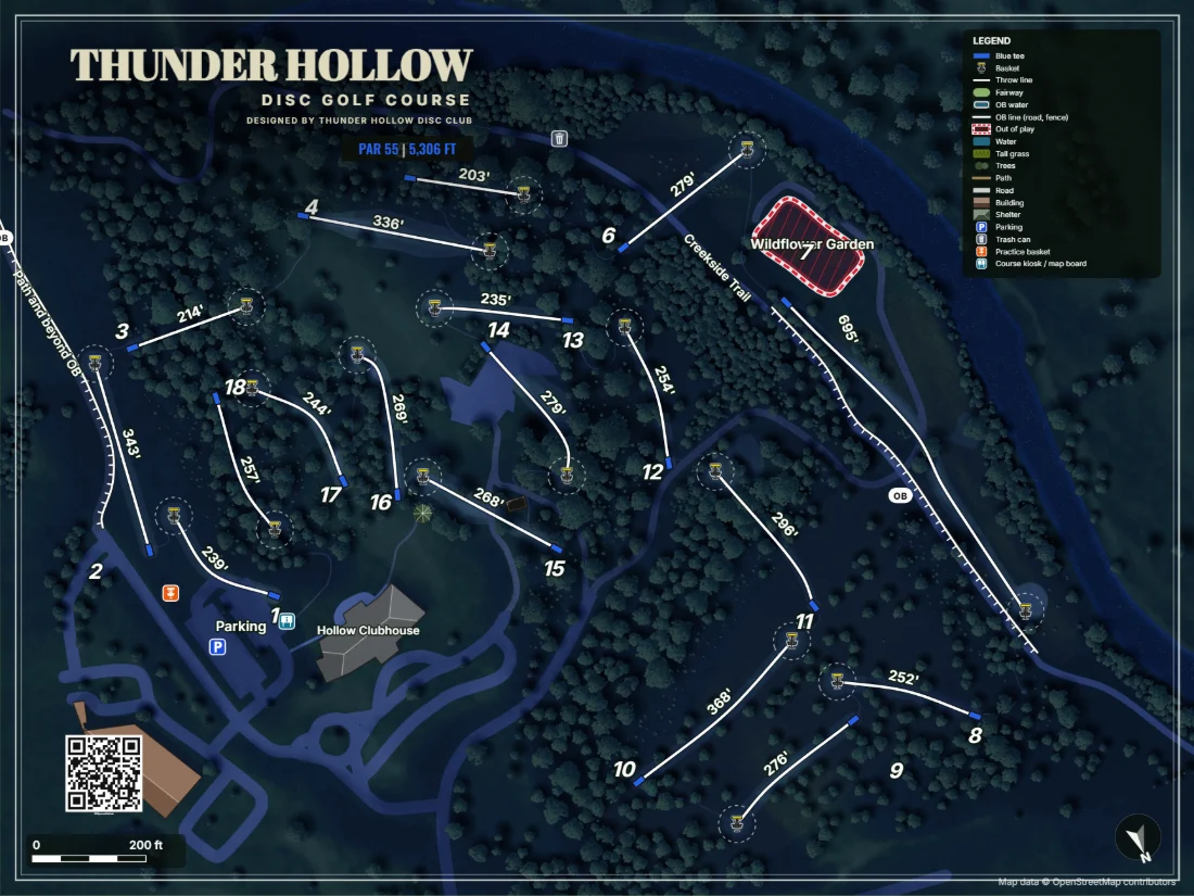
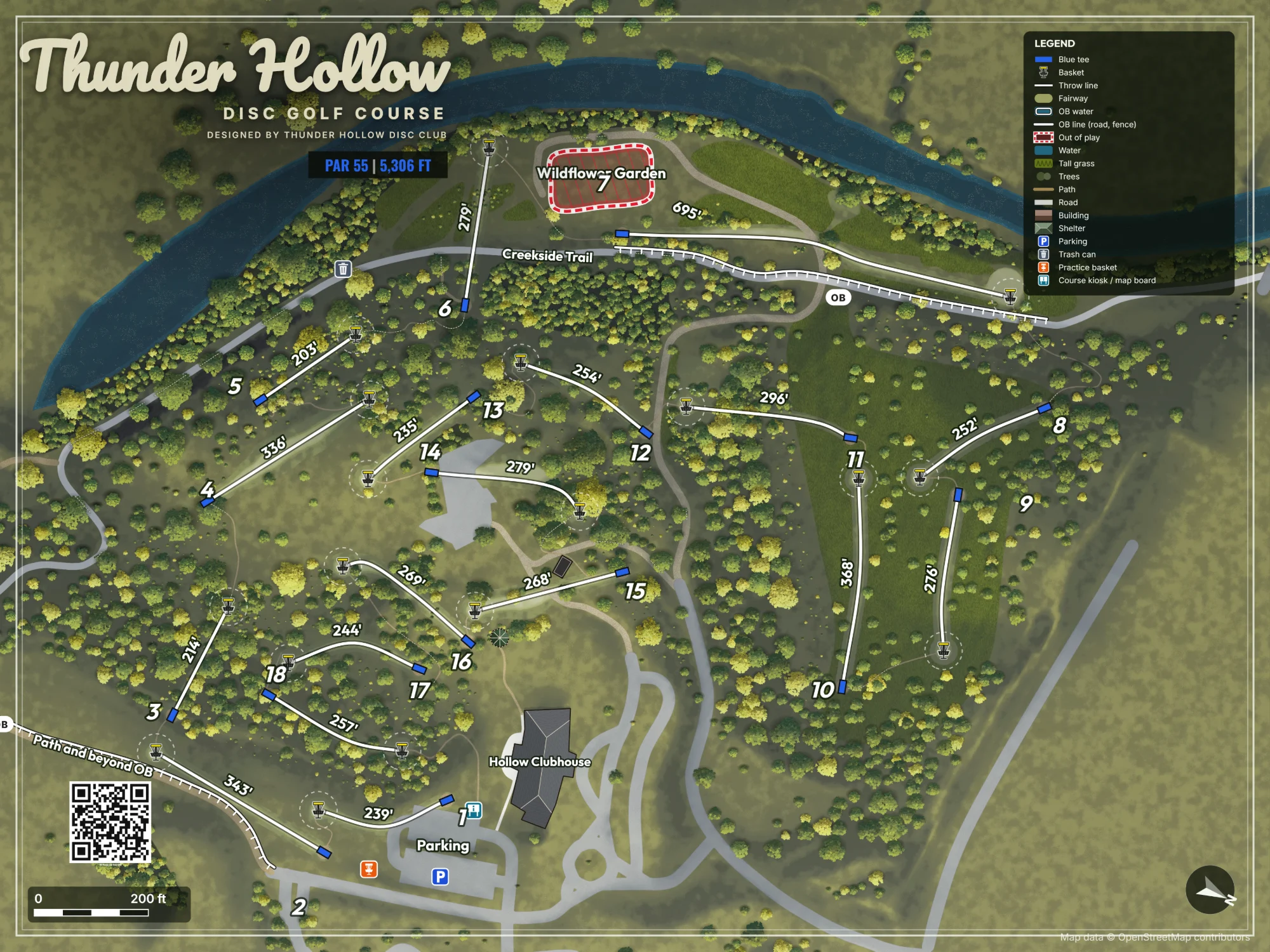
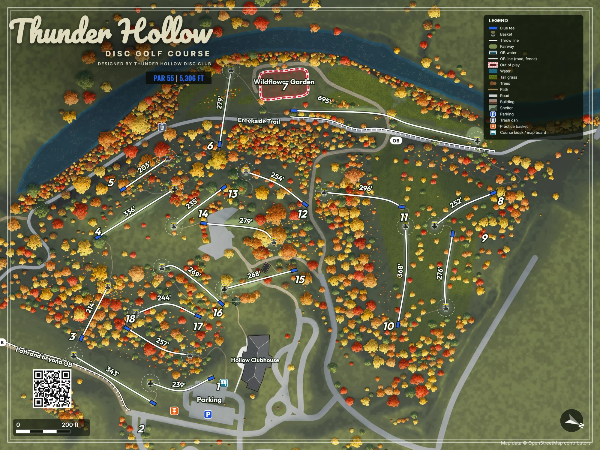
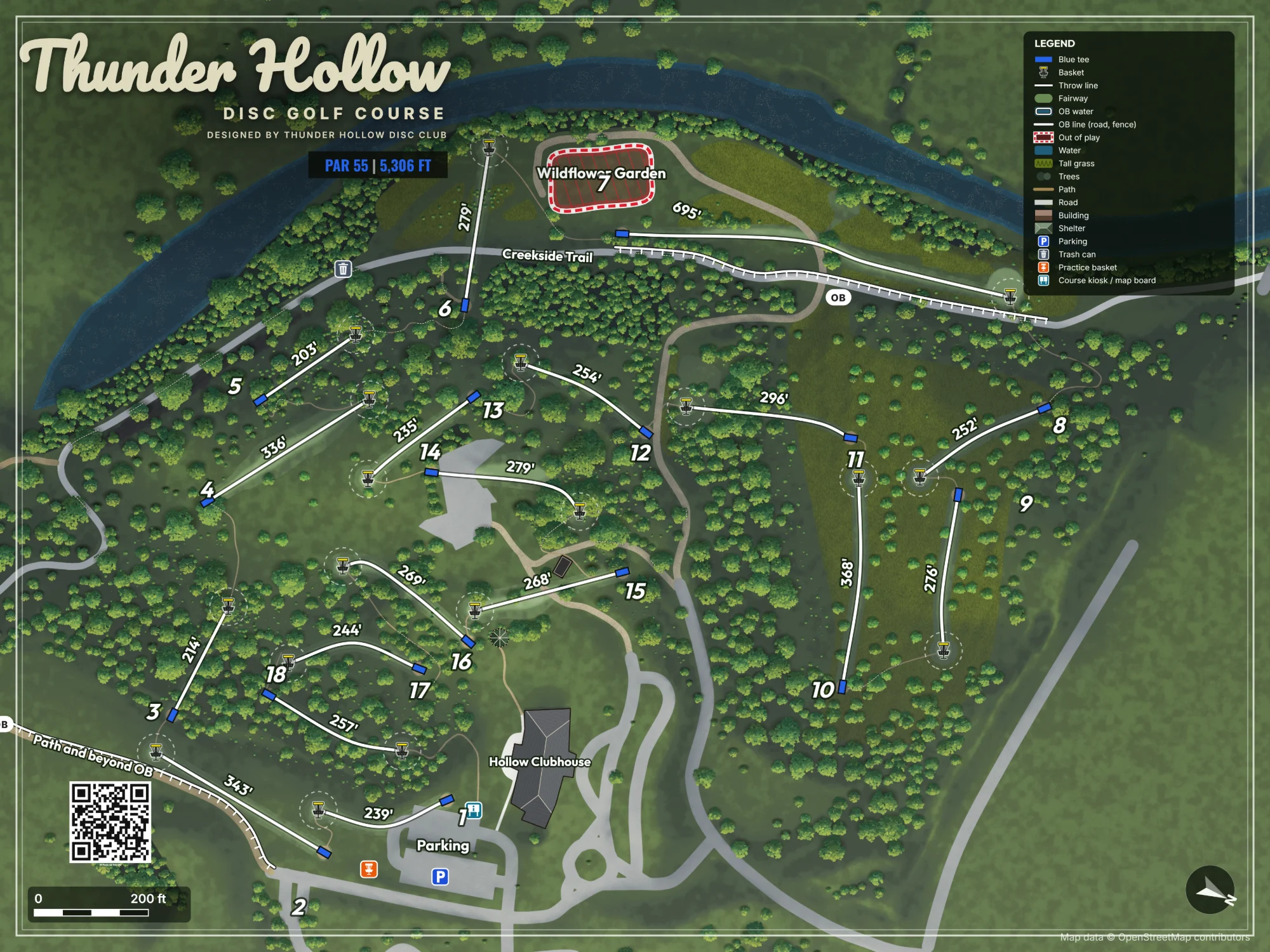
One course, four looks
Import your course
Search for it and watch it build: the ground, every measured tree, the water and the paths. Then check each part before it comes in.
On your phone too
One question at a time: the photo, the trees, the underbrush, the paths and water. Tap the arrow when it looks right.
Plot your holes
Click the tee, then the basket. Clear or plant a few trees where the import got them wrong.
The map paints itself
Every part of it is yours to change, down to the sun and the shadows.
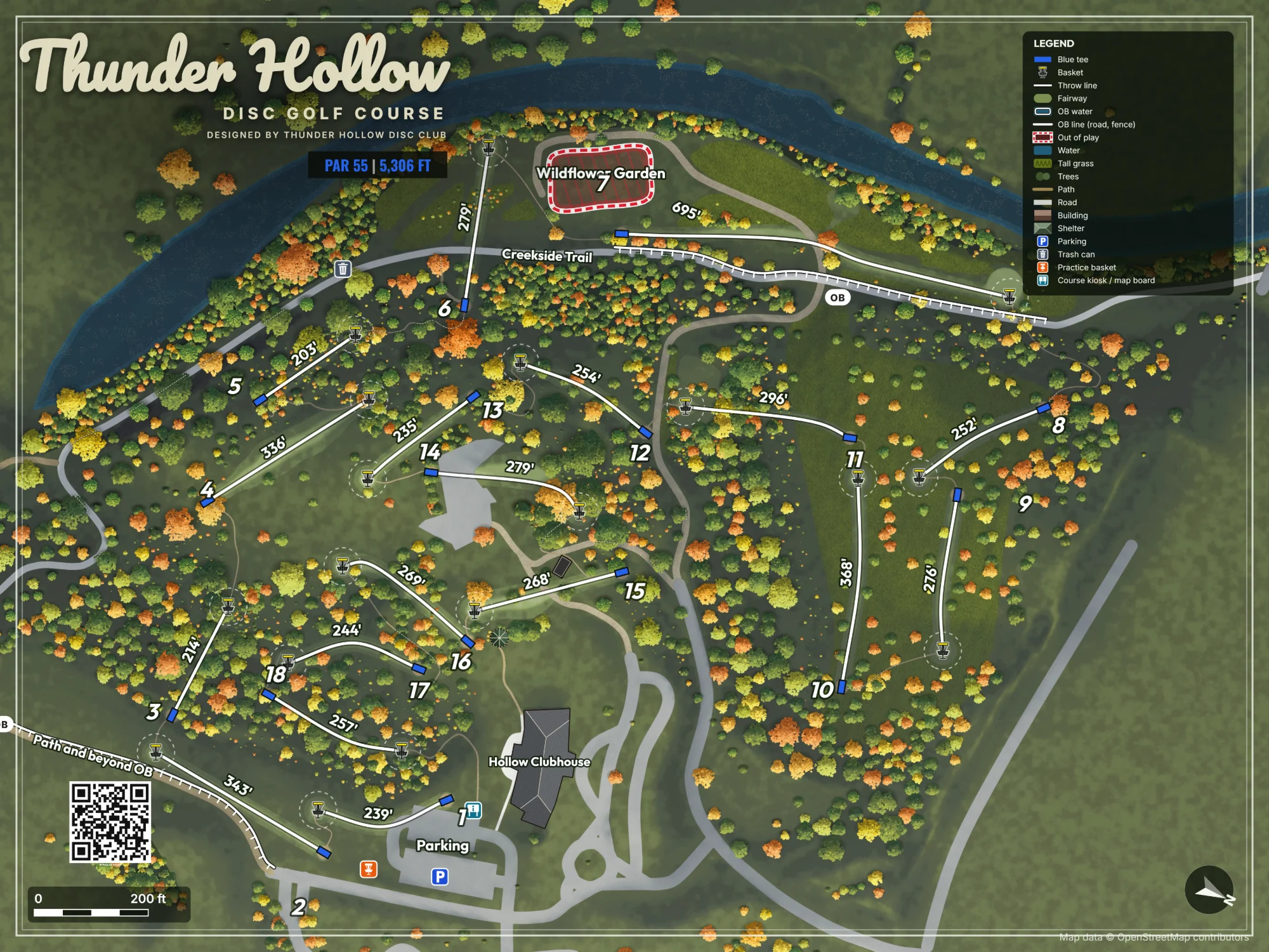
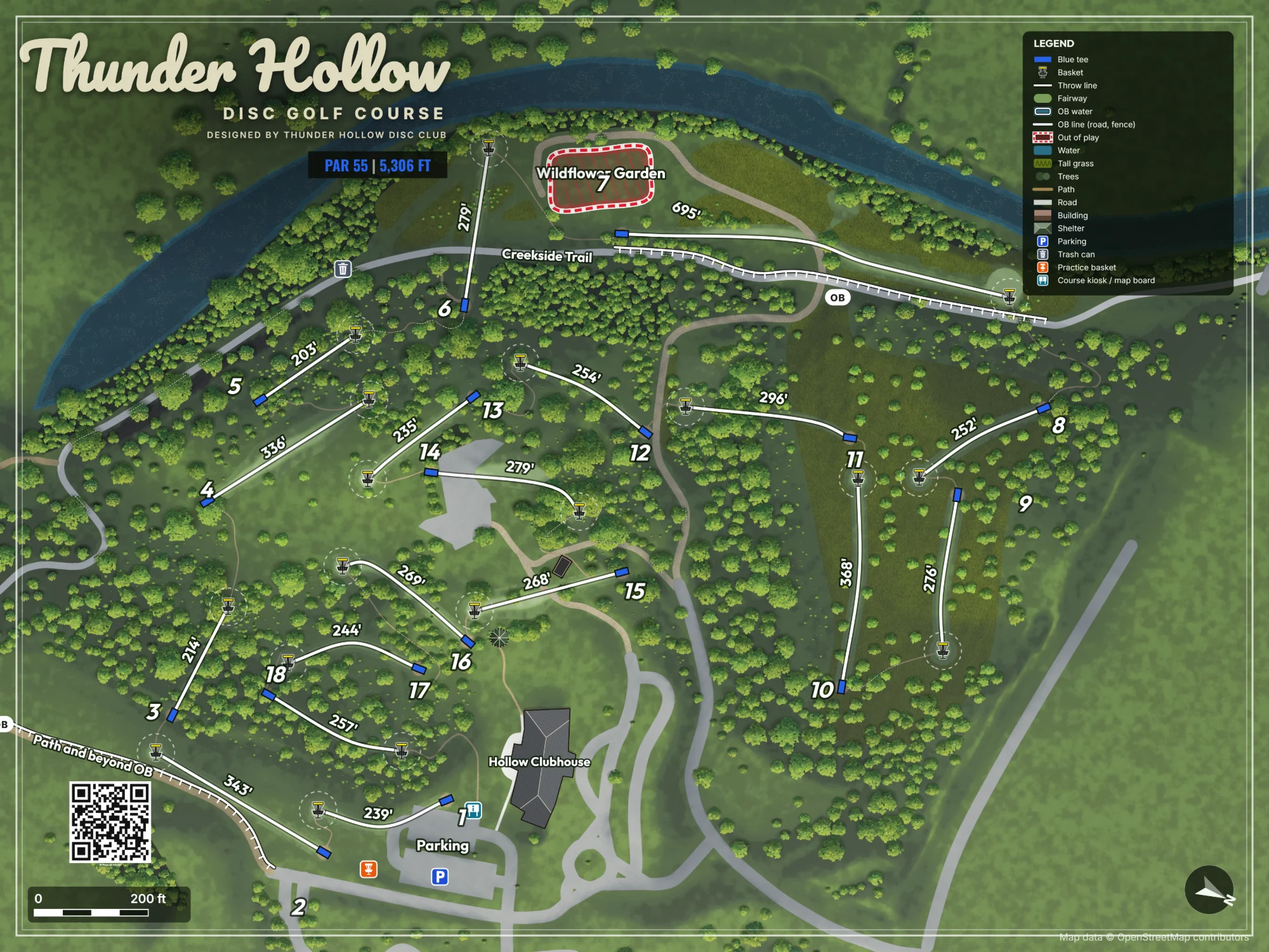
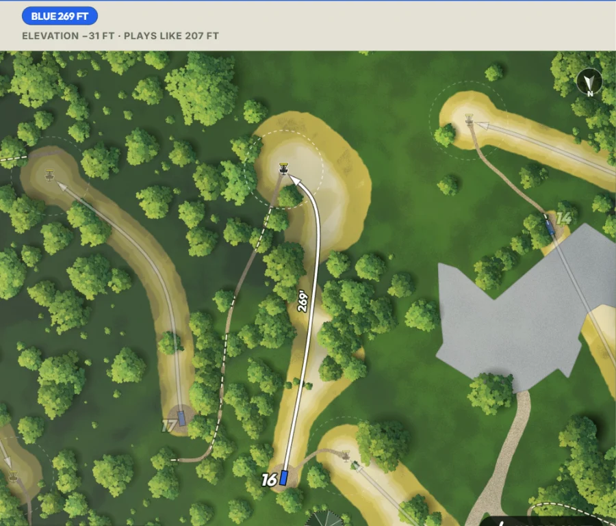
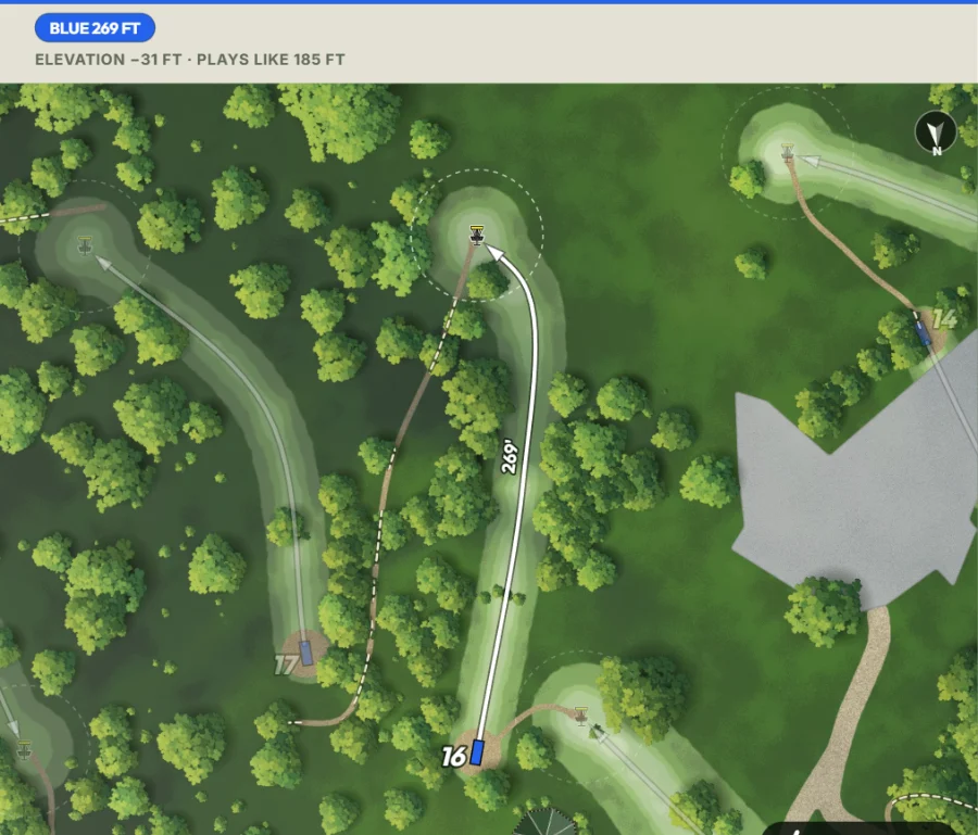
Fairways
Any width, any shape, any color.
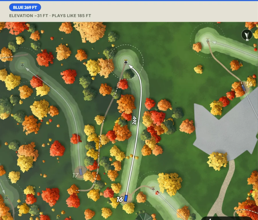
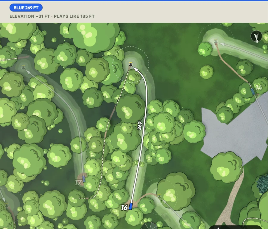
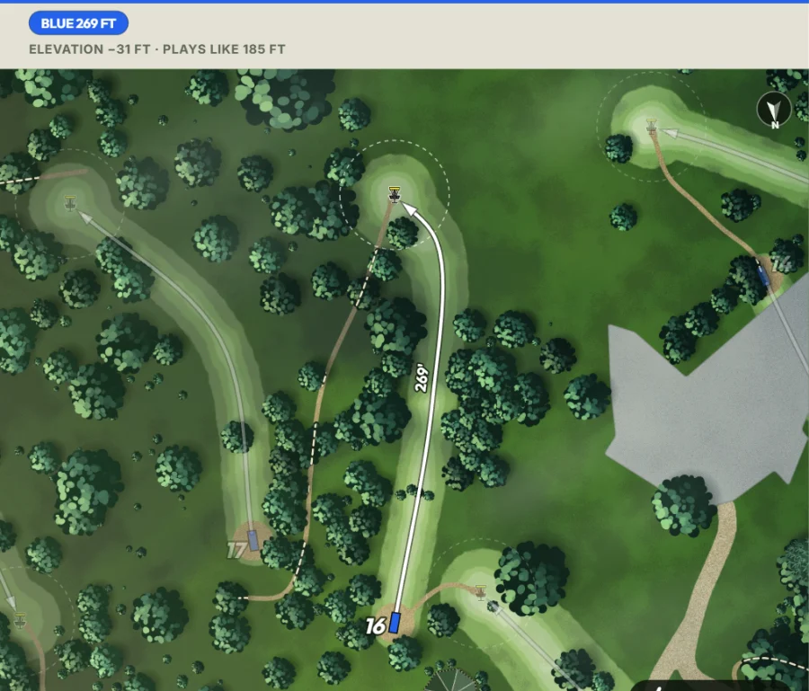
Trees
Any painting style, any size, any color.
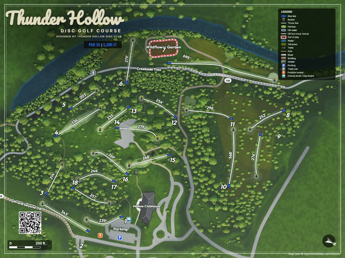
The map
Fonts, frame and time of day.
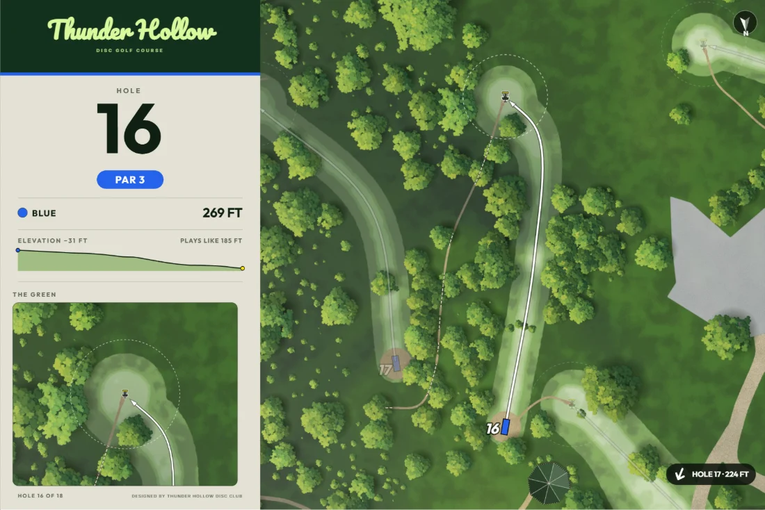
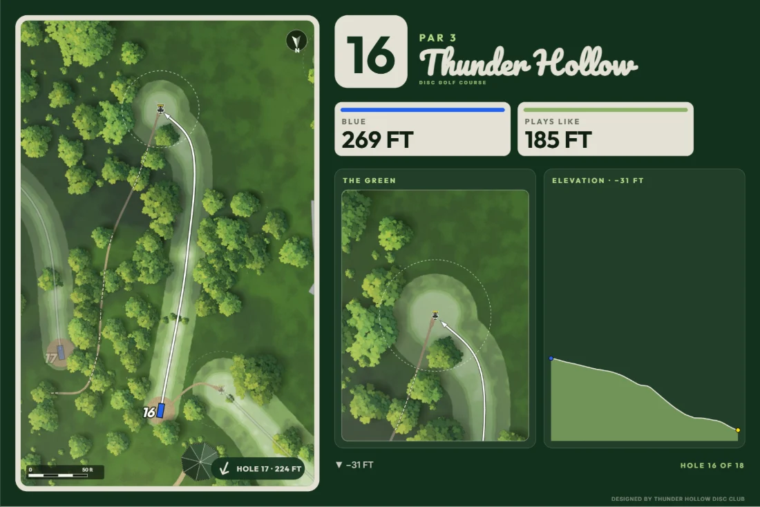
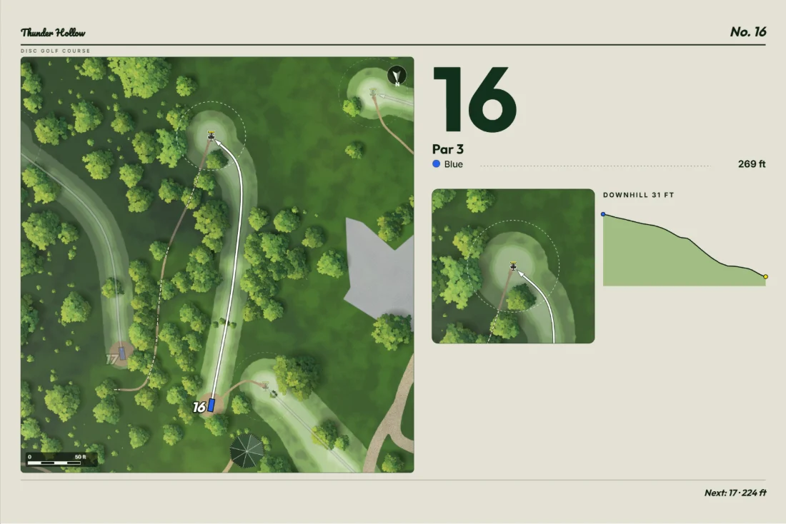
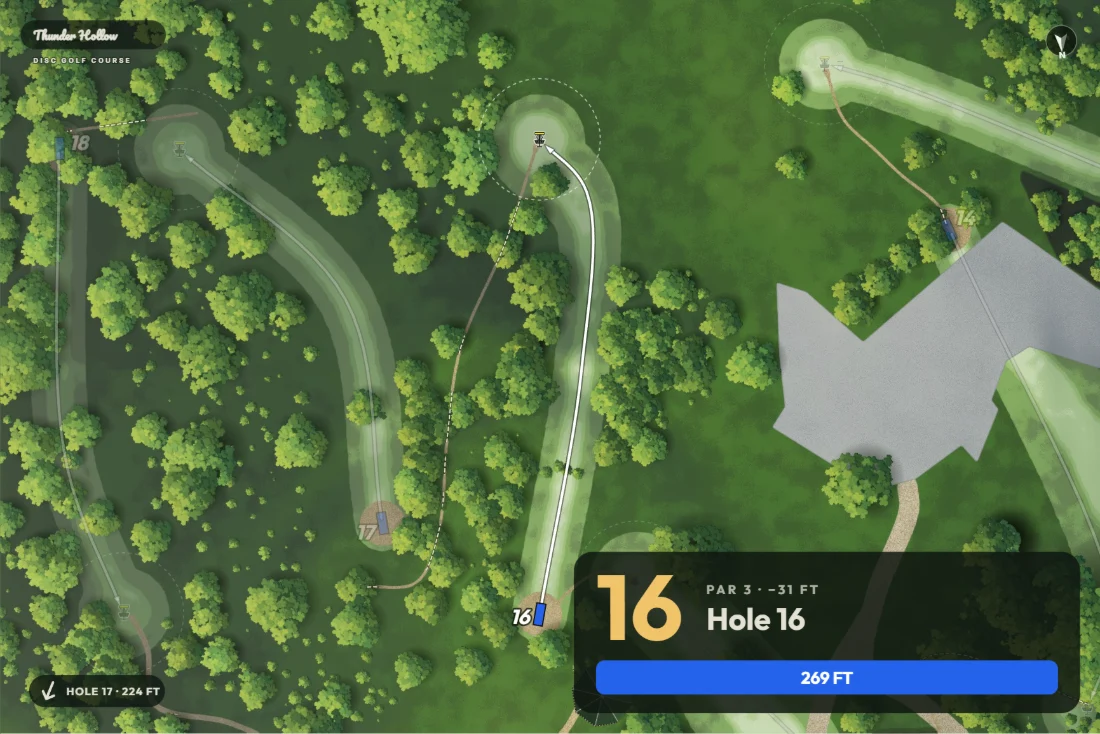
Tee signs
Four layouts, in your colors and fonts.
Print the map and tee signs
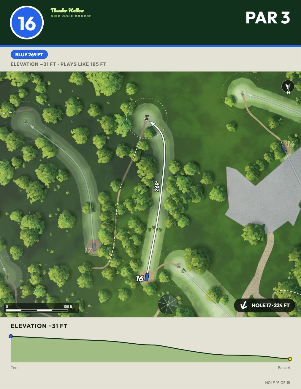
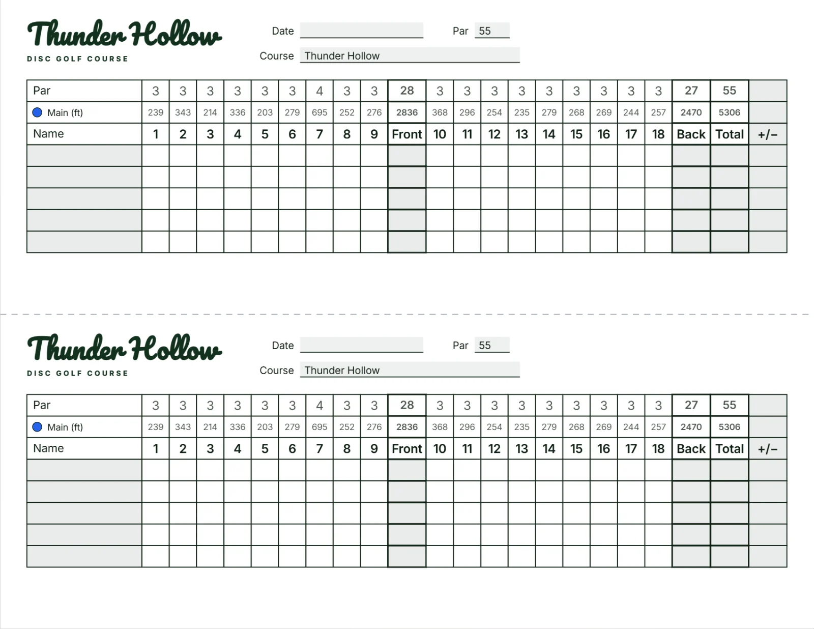
Course maps, tee signs, hole pages and scorecards, ready for the print shop.
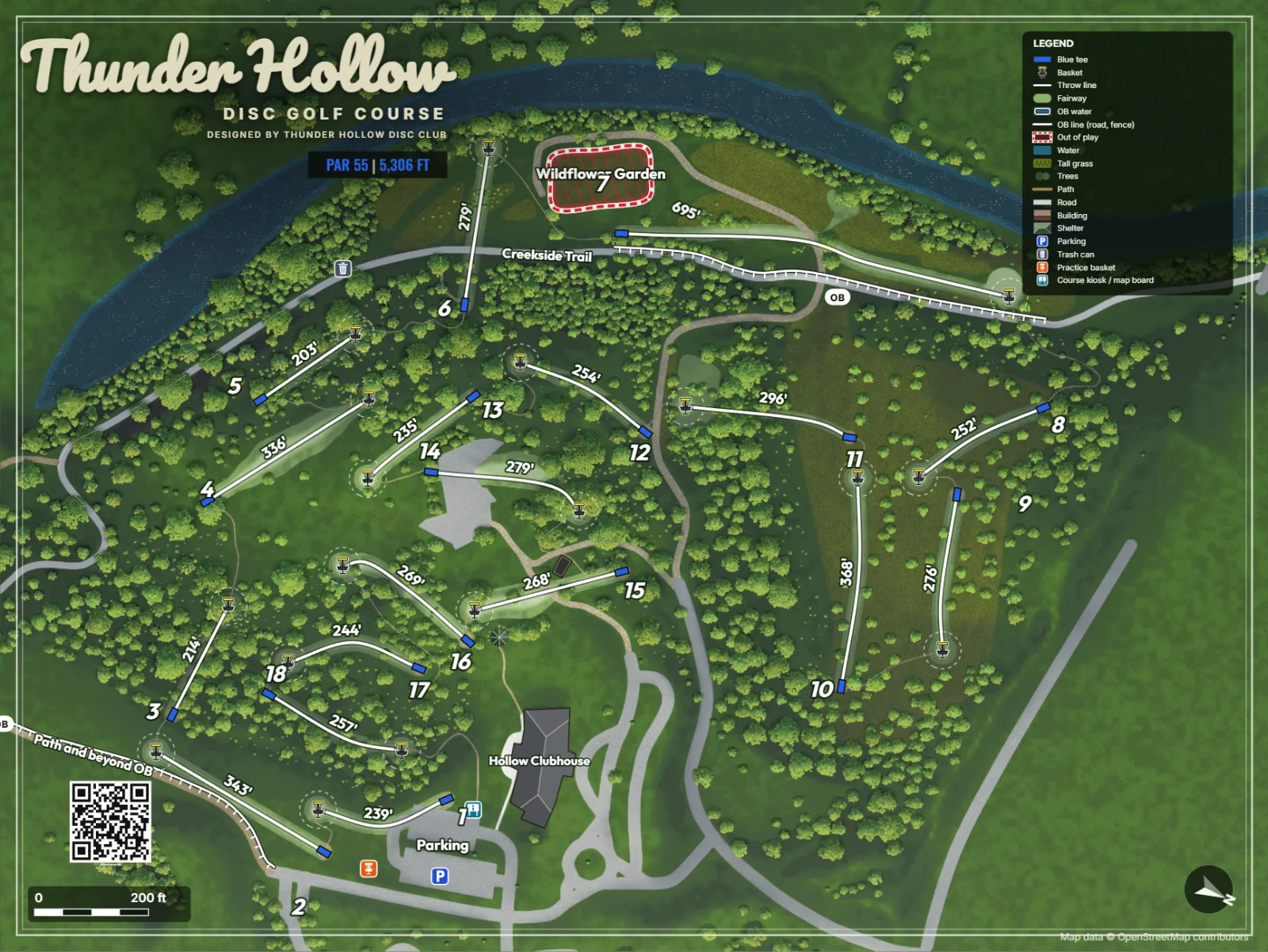
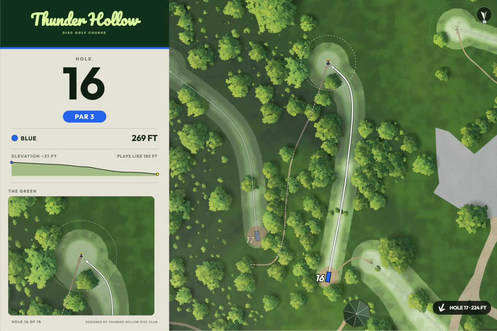
Or keep going
Your course is already in 3D. Take it as far as you want.
True-to-life 3D
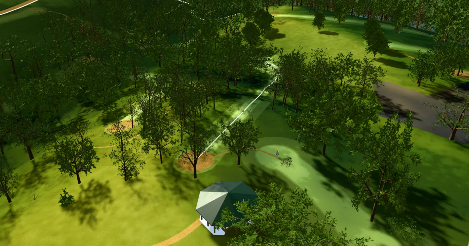
Real hills and real trees, from aerial LiDAR surveys.
360° sun control
See where the shade falls, morning to evening.
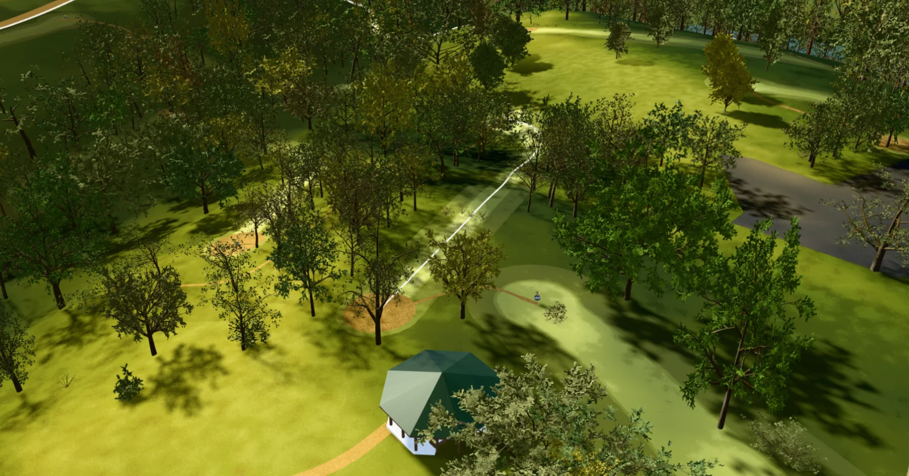
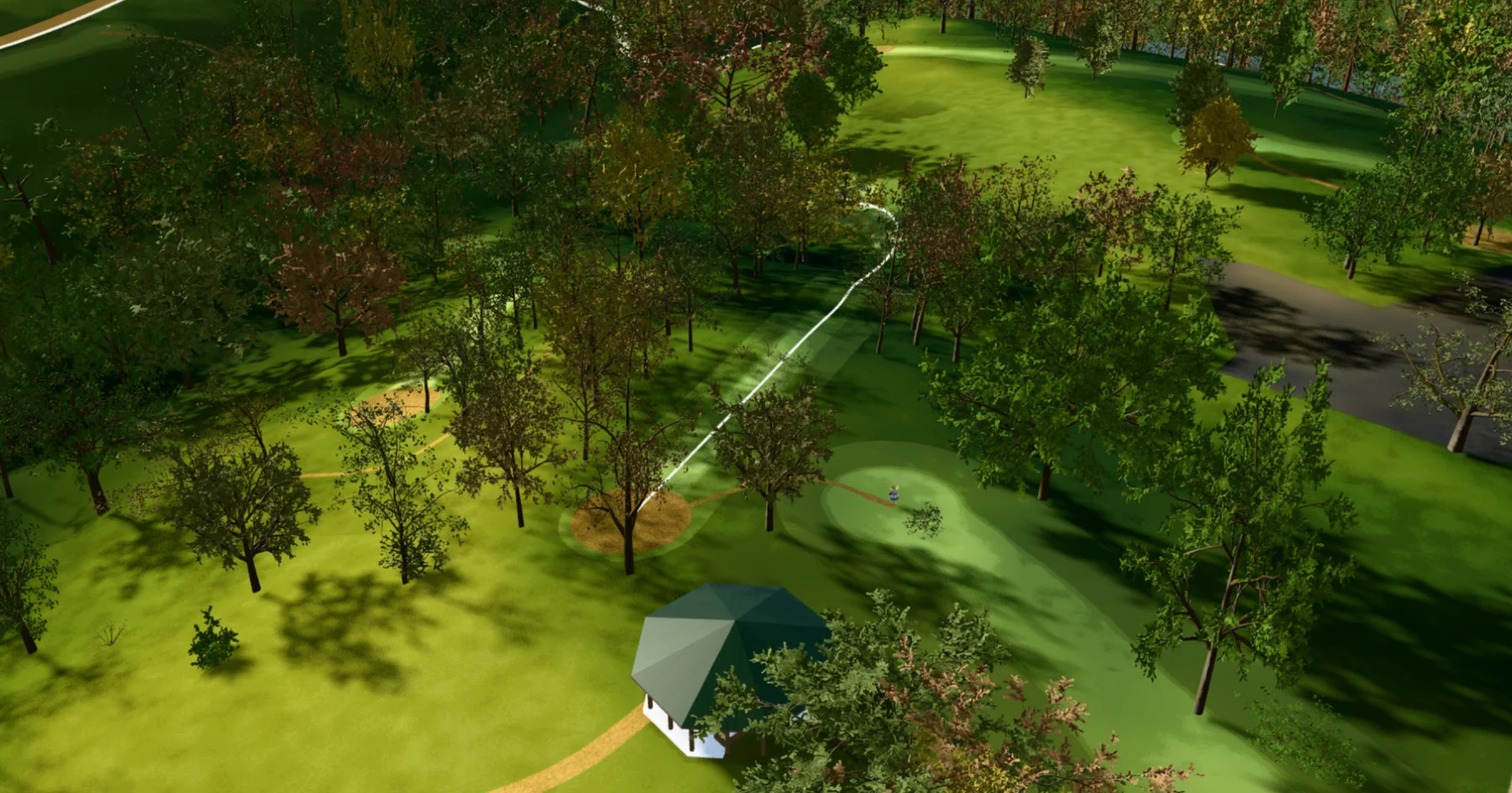
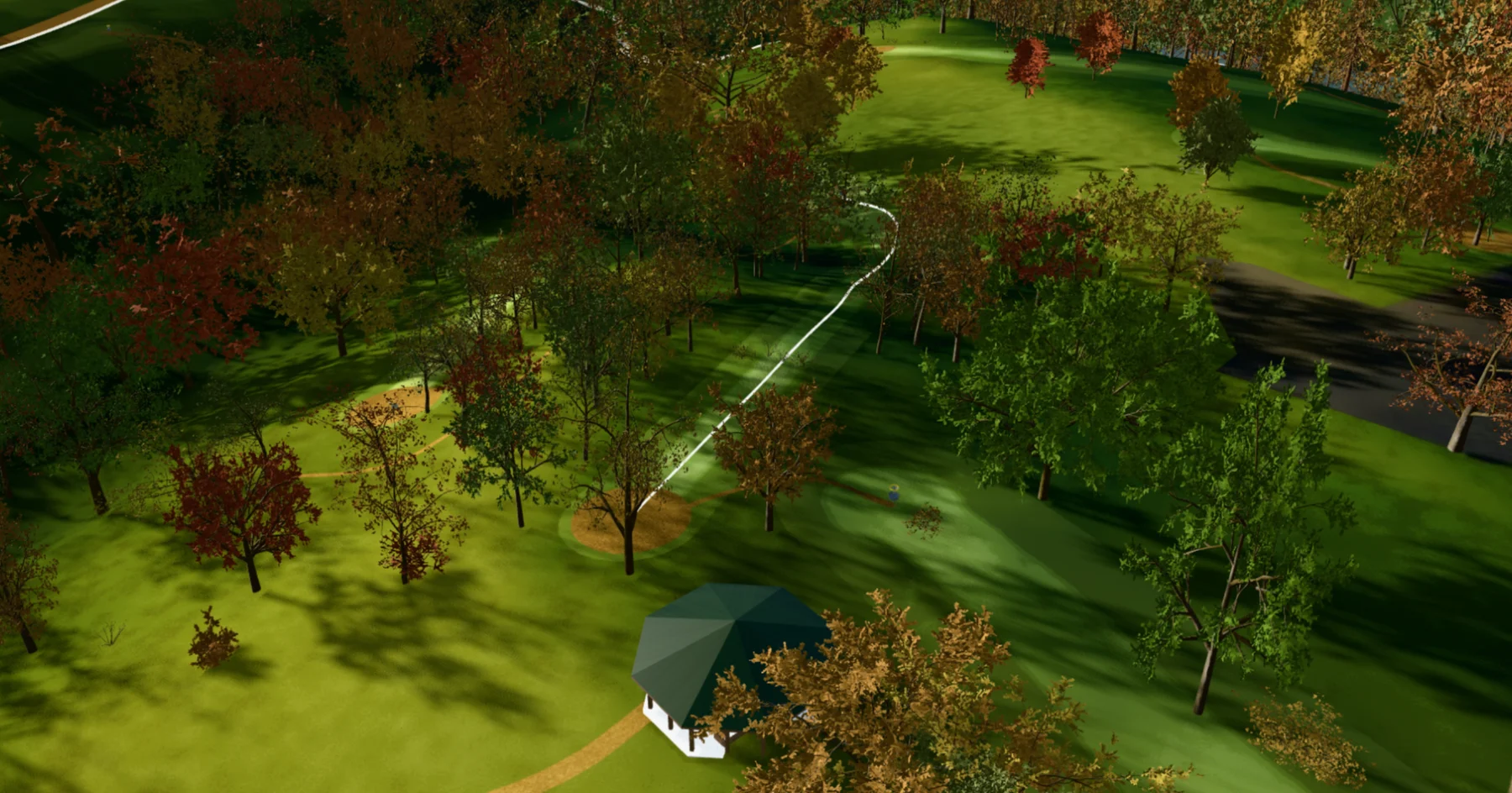
Every season
Summer green to full autumn color.
As accurate as you want
Take it out to the course and put every tee, basket and tree right where it stands.
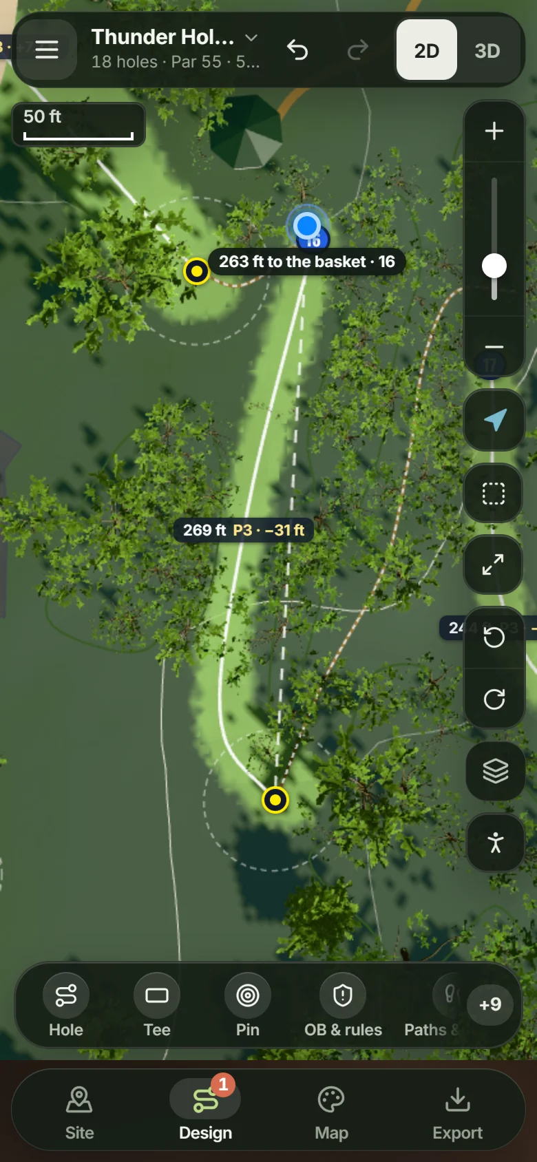
GPSSee how far you are from the basket as you walk.
Place on siteStand by the basket, tap, and it’s placed. Tees work the same way.
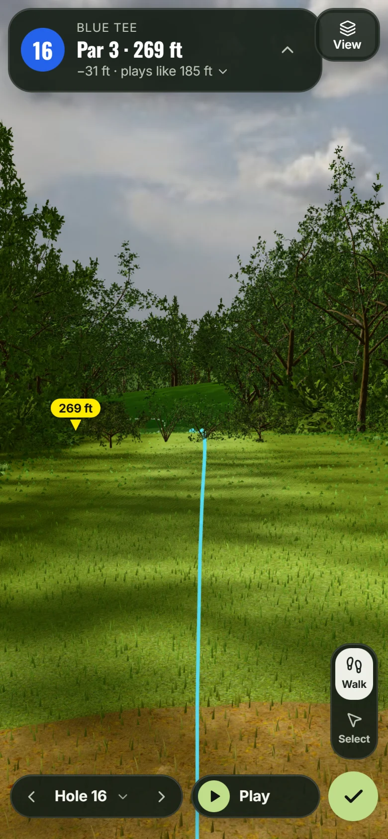
3DSee the hole in 3D from where you’re standing.
See the lines before you build
Draw a hole on real elevation, among trees at their real heights, then walk it from the tee.
Safety checks
A warning when holes sit too close or a throw crosses a road, a path or a playground.
Plays-like distance
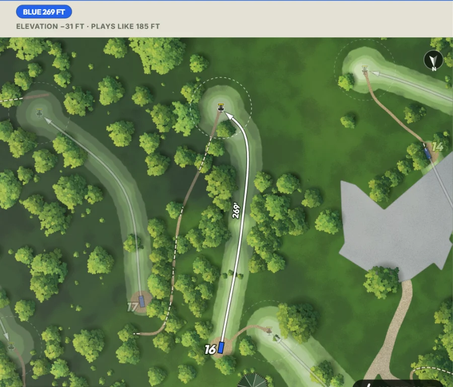
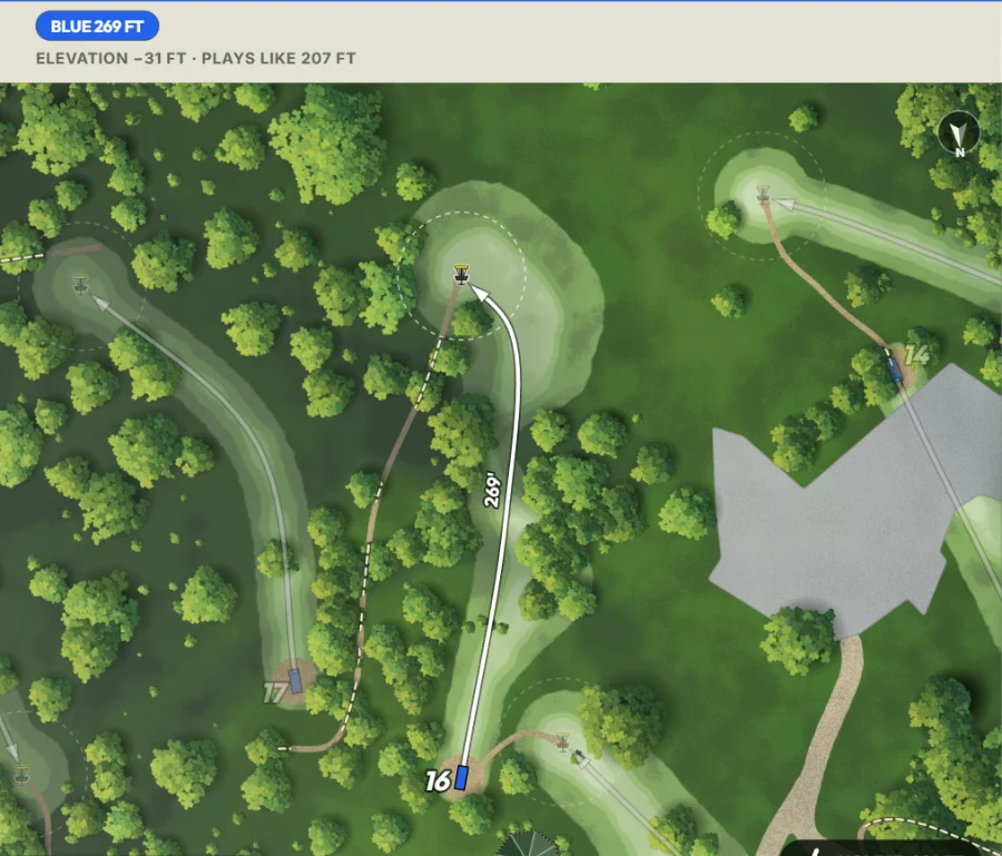
How long a hole really plays, hills counted.
269 ft plays like 185
PDGA par
A par for every hole, from the PDGA’s guidelines.
Flyover videos
Fly any hole from tee to basket and save the video.
Real-time collaboration
PresenceSee who’s on the course and what they’re working on.
SyncEvery change shows up for everyone right away.
CommentsPin a note to the map for a clubmate.
Public course pages
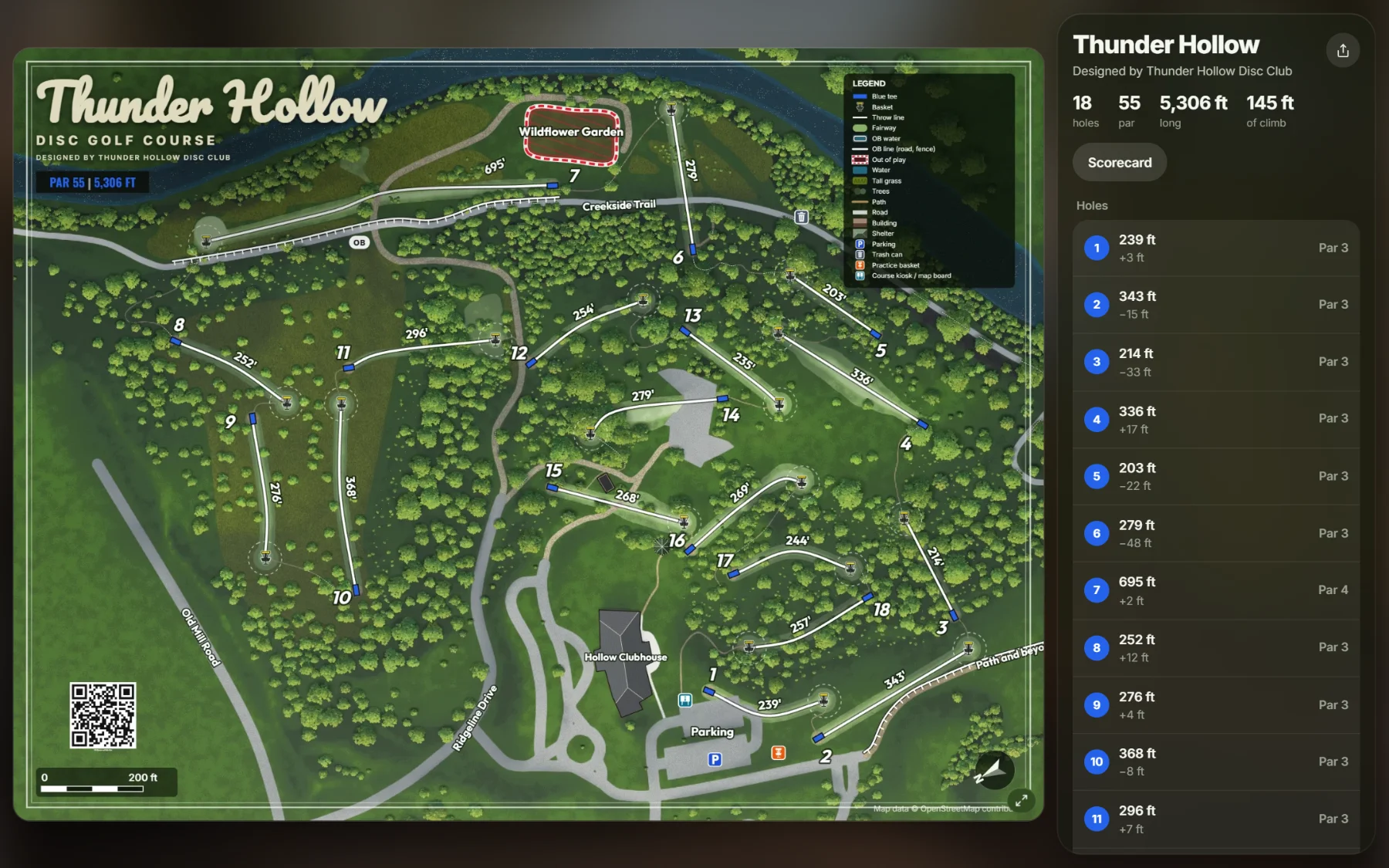
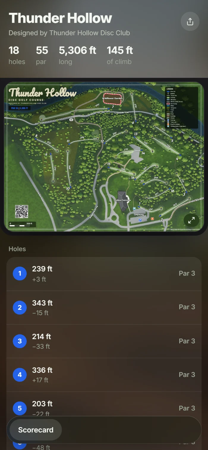
One link, and players get the map, every hole and a scorecard on their phone.
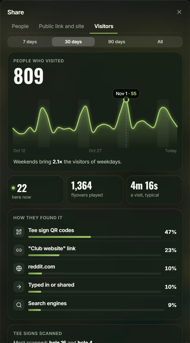
Visitor stats
How many people visit, and which tee signs they scan.
Everything else
Hole sponsors
Put a sponsor’s logo on every tee sign, hole page and scorecard.
GPS exports
Every tee and basket spot as a GPS file, to stake out the course.
Multiple layouts
Set up tees and pins for league night, tournaments and casual rounds.
Tees and pin positions
Five tee colors and up to four pin positions on every hole.
Parts list and budget
Get a priced list of the baskets, tee pads and signs you’ll need.
Holes from a GPS file
Tees and baskets in a GPS file come in as holes.
Version history
Go back to any earlier version.
Self-hosting
Run it on your club’s own server, with invite-only accounts and two-factor sign-in.
Free and open source
No account. Open it in your browser and start on the example course.